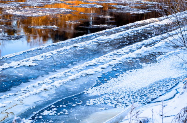
July 11, 2025 – As winters in the United States continue to warm, on average, extreme cold snaps still manage to grip large swaths of the country with surprising ferocity. A new study offers a powerful clue: the answer may lie more than 10 miles above our heads—in the shifting patterns of the stratosphere.
The international team involved in the study include Prof. Chaim Garfinkel (Hebrew University), Dr. Laurie Agel and Prof. Mathew Barlow (University of Massachusetts), Prof. Judah Cohen (MIT and Atmospheric and Environmental Research AER), Karl Pfeiffer (Atmospheric and Environmental Research Hampton), Prof. Jennifer Francis (Woodwell Climate Research Center), Prof. Marlene Kretchmer (University of Leipzig). Published in Science Advances, the study reveals how two specific patterns in the stratospheric polar vortex—a high-altitude ribbon of cold air circling the Arctic—can trigger bone-chilling weather events across different parts of the U.S.
“The public often hears about the ‘polar vortex’ when winter turns severe, but we wanted to dig deeper and understand how variations within this vortex affect where and when extreme cold hits,” said the researchers.
The team identified two distinct variations of the polar vortex, both linked to what scientists call a “stretched” vortex—a distorted and displaced circulation pattern that leads to unusual weather on the ground.
- One variation pushes the vortex toward western Canada, setting the stage for intense cold in the Northwestern U.S.
- The other nudges the vortex toward the North Atlantic, unleashing frigid air across the Central and Eastern U.S.
Both versions are associated with changes in how atmospheric waves bounce around the globe—essentially altering the jet stream and dragging Arctic air far southward.
Perhaps most striking is the discovery that since 2015, much of the northwestern U.S. has been getting colder in winter, contrary to broader warming trends. The researchers tie this shift to the increased frequency of the westward-focused vortex pattern, which also coincides with stronger negative phases of the El Niño/Southern Oscillation (ENSO)—a key global climate driver.
“Climate change doesn’t just mean warming everywhere all the time. It also means more complex and sometimes counterintuitive shifts in where extreme weather shows up,” explained the researchers.
These findings help explain recent cold waves in places like Montana, the Plains and even Texas as in February 2021 (which was very costly in terms of deaths and insured losses), while other regions may experience milder winters. Understanding the stratosphere’s fingerprints on weather patterns could improve long-range forecasting, allowing cities, power grids, and agriculture to better prepare for winter extremes—even as the climate warms overall.
The work was funded by a US NSF-BSF grant by Chaim Garfinkel of HUJI and Judah Cohen of AER&MIT.
The full study, titled “Cold-Air Outbreaks in the Continental US: Connections with Stratospheric Variations,” appears in Science Advances and can be accessed here.
Researchers:
Laurie Agel1, Judah Cohen2,3, Mathew Barlow1, Karl Pfeiffer4, Jennifer Francis5, Chaim I. Garfinkel6, Marlene Kretchmer7, 8
Institutions:
- Department of Environmental, Earth, and Atmospheric Sciences, University of Massachusetts Lowell
- Atmospheric and Environmental Research, Inc., Lexington
- Department of Civil and Environmental Engineering, Massachusetts Institute of Technology
- Atmospheric and Environmental Research, Hampton
- Woodwell Climate Research Center, Falmouth, Massachusetts
- The Hebrew University of Jerusalem, Institute of Earth Sciences
- Leipzig Institute for Meteorology, University of Leipzig, Leipzig, Germany
- Department of Meteorology, University of Reading, Reading, UK.